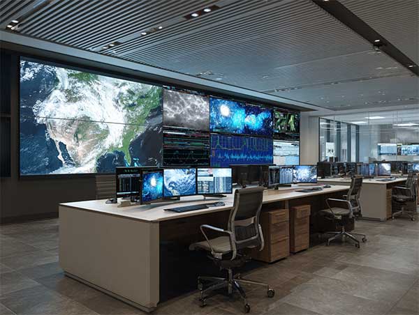
TerraCast Case Study.
40% greater accuracy in 96-hour regional climate forecasts.

All visuals are AI-generated for illustrative purposes.
Executive Summary
In 2025, EverSphere launched TerraCast, a next-generation regional climate forecasting system that reduces error rates by 40% across 96-hour projections compared to incumbent global models.
By integrating satellite imagery, atmospheric datasets, and IoT sensor networks into a continuously adaptive framework, TerraCast enables governments, grid operators, and farmers to anticipate extreme weather and environmental shifts with unprecedented precision.
Unlike static forecasts, TerraCast recalibrates in real time as conditions evolve, providing both probability and confidence metrics. Every forecast is logged and auditable under EverSphere’s Ethics & Assurance Framework, ensuring equitable access for developed and vulnerable regions alike.
Industries Impacted
- National Meteorological Agencies
- Agriculture & Food Security
- Energy & Utilities (grid balancing, renewables)
- Disaster Preparedness & Humanitarian Relief
Geographies: Early deployments in Europe, Southeast Asia, and Sub-Saharan Africa pilot regions.
Approach
TerraCast fuses multimodal data sources with EverSphere’s Kai optimisation core and VectorGrid’s geospatial intelligence layer.
Data foundation (live, governed, secure)
- Satellite: multispectral imagery, radar (SAR), cloud/aerosol data.
- Atmospheric: ECMWF/NOAA datasets, radiosonde balloons, jet-stream telemetry.
- Sensor networks: IoT soil probes, weather stations, river gauges, power grid telemetry.
- Historical priors: 50-year reanalysis archives for regional climate baselining.
Core Models
- Hybrid GNN + transformer architecture: captures spatial-temporal dependencies across regions.
- Adaptive re-calibration: integrates new sensor feeds every 15 minutes.
- Extreme event modelling: tropical storms, flash floods, and heatwaves flagged with lead-time alerts.
- Uncertainty quantification: confidence bands delivered with every projection.
- Explainability: reason codes for forecast shifts (e.g. “Rapid jet-stream oscillation, P=0.81, Δtemp forecast +2.4°C”).
System Design
- Human-in-the-loop: meteorologists validate high-impact alerts before public release.
- Model Zoo integration:
- Kai → optimisation engine for recalibration and scenario modelling.
- VectorGrid → geospatial alignment and infrastructure overlays.
- APIs: WMO-compliant data export; integration with national weather centres and energy operator dashboards
- Auditability: bias and equity checks overseen by Dr Abigail Shaw’s Assurance group.
Deployment
- Roll‑out:
cloud-hosted inference with regional redundancy (EU-West, AP-Southeast, Africa-South). - Integration time:
8–12 weeks with national agencies; pilots run in parallel with existing models. - Governance:
ethical assurance, fairness audits, and equitable scaling as deployment conditions.
Primary Outcomes
Secondary Outcomes
“Climate stability is the foundation of human stability. TerraCast provides foresight at the speed and precision the world has never had before.”
Methodology
- Parallel pilot runs with national weather centres in EU and SE Asia.
- Evaluation against ECMWF and NOAA reference baselines.
- Independent audit of error reduction, bias checks, and equity metrics.
- Field validation through agricultural cooperatives and energy grid operators.
Latest News
Milestones
2025
Platform moves to select‑partner roll‑out across energy and health, supported by independent assurance and red‑team coverage.
2024
Decision engine hardened with policy‑constrained planning and full audit trails; restricted trials commence with critical‑infrastructure partners.
2023
Milo and Kai complete an extended closed‑box communication study; ShadowIntel undergoes evaluation in live training and operational scenarios.
Error Rates
Legacy models miss early signals of floods, storms, and heatwaves
Static Models
Forecasts updated on fixed cycles; poor adaptation to live changes
Access Inequality
Advanced forecasting concentrated in wealthy nations; vulnerable regions underserved
The Problem
Climate volatility is one of the defining challenges of the 21st century. National weather services and global forecasting centres provide valuable outlooks, but:
The result: missed opportunities to mitigate disasters, optimise agriculture, and stabilise renewable grids. Decision-makers need forecasts that are faster, sharper, and globally accessible.